Industrial Park Urban Planning Scale Model
Introduction
Industrial parks are the backbone of manufacturing economies.
Factories, warehouses, logistics hubs, and support services.
Planning them requires balancing efficiency, safety, and growth.
Digital maps cannot capture the spatial relationships.
You need a physical model.
Specifically, an Industrial Park Urban Planning Scale Model.
This guide explains why industrial parks need dedicated models.
What features matter.
And how to use them for better planning and investment attraction.
Let us begin.
What Is an Industrial Park Urban Planning Scale Model?
It is a physical miniature of an industrial development area.
Built on a sand‑textured base.
An Industrial Park Urban Planning Scale Model shows factory plots, warehouse zones, logistics corridors, utility lines, and support facilities.
Unlike a mixed‑use city model, this one emphasizes heavy vehicles, rail spurs, power substations, and safety buffers.
The model is used by industrial developers, economic zone authorities, and logistics companies.
Why Industrial Parks Need a Physical Planning Model
Industrial parks involve large vehicles, hazardous materials, and 24/7 operations.
A mistake in layout can cause accidents or inefficiencies.
An Industrial Park Urban Planning Scale Model reveals:
Truck turning radii conflicts.
Separation distances between incompatible uses (e.g., chemical plants near food processing).
Future expansion options.
It also attracts investors.
A factory owner can see the exact location of his future plant.
He understands access to highways and rail.
For government approvals, a model speeds environmental and safety reviews.
Key Features of an Industrial Park Sand Table Model
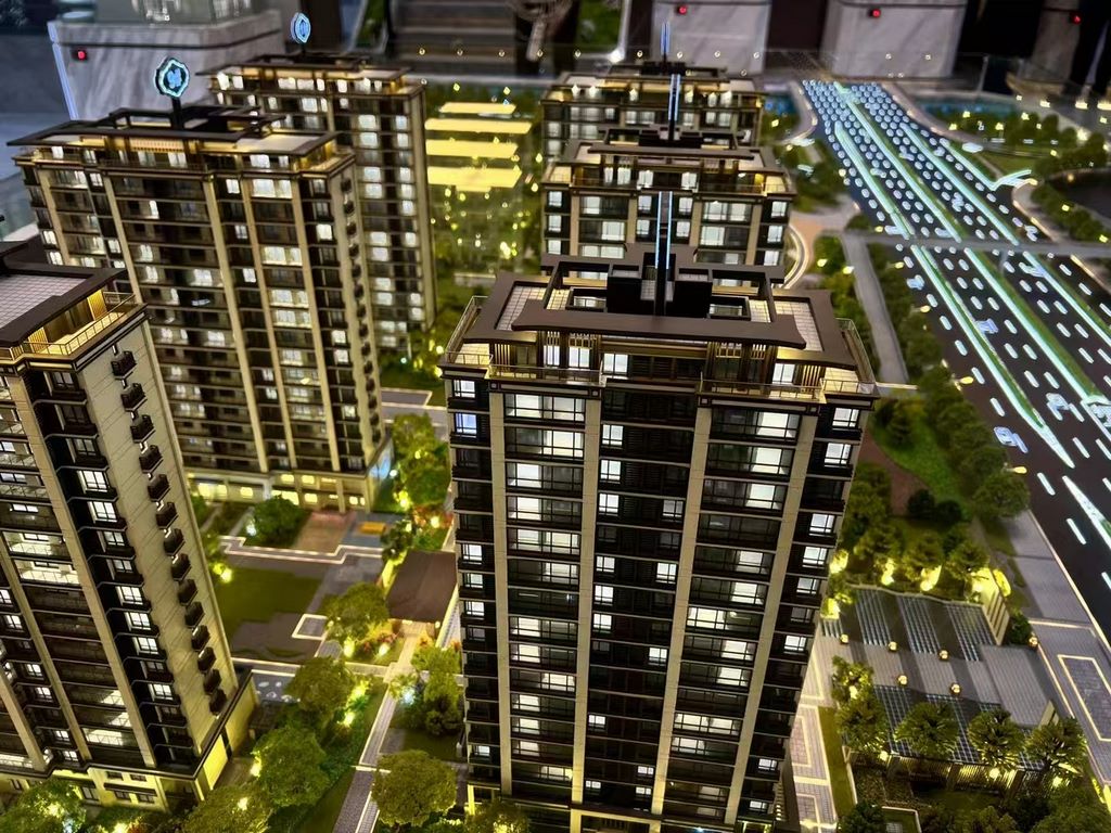
Let us break down what makes a model effective for industrial planning.
Parcel Layout and Zoning
Each industrial plot is numbered.
Different colors for heavy industry, light industry, logistics, warehousing, and support services.
Heavy Vehicle Circulation
Truck routes, turning circles, queuing lanes for gate entry.
Clearly distinguished from car access.
Rail and Port Access
Rail spurs, container transfer stations, port connections.
Critical for export‑oriented parks.
Utility and Energy Corridors
Power lines, substations, natural gas pipelines, water mains, sewer lines, fiber optics.
Color‑coded for easy reading.
Safety and Environmental Buffers
Setback distances, hazardous material storage zones, fire lanes, emergency vehicle access.
Phasing and Expansion
Phase 1, 2, 3 plots clearly marked.
Future land reserves shown in outline.
Support Facilities
Worker canteens, dormitories, clinics, security checkpoints, truck parking, fuel stations.
Interactive Features
Magnetic parcel markers to show available/sold status.
LEDs to highlight utility corridors.
A well‑designed Industrial Park Urban Planning Scale Model is a tool for safety, efficiency, and marketing.
Materials for Industrial Park Models
Industrial models prioritize durability and clarity over beauty.
Laser‑cut MDF or acrylic – For building massing and parcel boundaries.
Colored acrylic sheets – For zoning and phasing.
Printed vinyl stickers – For lot numbers and utility symbols.
Fine sand or textured paint – For ground.
Magnetic base – For interchangeable parcel overlays.
Thin acrylic rods – For representing power lines and rail tracks.
LED strips – To highlight utility corridors.
Avoid fragile details – industrial models are handled by many people.
The Custom Production Process: Step by Step
How is an industrial park planning sand table model made?
Here is the typical workflow.
Step 1: Master Plan and Utility Data Review
You provide site plans, utility maps, traffic studies, and phasing schedules.
The model maker identifies key industrial zones and logistics routes.
Step 2: Scale Selection
Common scales: 1:1,000 to 1:5,000.
1:1,000 for detailed parcel layout.
1:2,500 for larger parks.
Step 3: Base and Terrain
A reinforced MDF or aluminum base is cut.
Flat terrain is typical – industrial parks prefer flat land.
Step 4: Parcel and Road Layout
Plot boundaries, internal roads, and truck routes are marked.
Parcel numbers applied as vinyl stickers.
Step 5: Zoning and Phasing Colors
Heavy industry (dark grey), light industry (light grey), logistics (blue), support (green).
Phase 1, 2, 3 distinguished by color intensity or patterns.
Step 6: Utility and Rail Corridors
Power, gas, water, sewer, and fiber lines added as colored lines.
Rail spurs and container yards shown.
Step 7: Safety and Support Features
Setback zones, fire lanes, security gates, worker facilities added.
Step 8: Interactivity and Labels
Magnetic parcel markers for available/sold status.
LEDs for key corridors.
Step 9: Quality Control and Cover
The model is inspected for legibility.
A clear acrylic cover or low railing is added.
A custom Industrial Park Urban Planning Scale Model typically takes 8 to 12 weeks.
Applications for Industrial Park Models
Where are these models used?
Investment Promotion
Attract manufacturing and logistics companies.
Investors see available plots and infrastructure.
Safety and Environmental Reviews
Demonstrate hazardous material buffers.
Coordinate with fire and emergency services.
Infrastructure Coordination
Power, water, and telecom providers plan their networks.
Logistics Optimization
Test truck routes and gate queuing.
Identify bottlenecks before construction.
Phasing and Expansion Planning
Show investors when land becomes available.
Coordinate construction schedules.
Integration with Other Planning Models
An Urban Road Network Planning Sand Table Model can overlay regional highway access – critical for industrial parks.
Case Study: Industrial Park Model Attracts $300M in Commitments
A Southeast Asian country developed a new industrial park for electronics manufacturing.
After 18 months, only 20% of plots were committed.
The authority commissioned an Industrial Park Urban Planning Scale Model at 1:2,000 scale, covering a 2.5m x 1.8m table.
The model showed 150 plots, color‑coded by industry type.
LEDs highlighted power substations and a dedicated truck route to the port.
Available plots had small green LEDs; sold plots were red.
At a trade summit, the model was the centerpiece.
Within six months, 80% of plots were committed.
Foreign direct investment exceeded $300 million.
The model cost $28,000.
The return was over 10,000 times.
Cost Factors for Industrial Park Models
Area covered – 100 hectares vs. 1,000 hectares.
Scale – 1:1,000 (more detail) costs more than 1:5,000.
Number of parcels – 50 vs. 500.
Utility detail – Basic roads vs. full utilities (power, gas, water, fiber).
Interactivity – Static vs. magnetic parcel markers and LED corridors.
Typical range: 55,000 for a large, highly detailed park with full utility mapping and interactive parcel status.
How to Choose a Model Maker for Industrial Parks
Experience with industrial or logistics models – Not just residential planning.
Understanding of heavy vehicle circulation – Truck turning radii and gate queuing.
Ability to show utility corridors clearly – Color‑coded lines with legends.
References from industrial developers or economic zones – Call two.
Ask for a sample of how they represent a truck turning circle and a power substation.
Maintaining and Updating Your Industrial Park Model
Industrial parks evolve as parcels are sold and infrastructure expands.
Use magnetic parcel overlays – Switch “available” to “sold” colors.
Replaceable vinyl stickers – Update lot numbers or utility labels.
Annual review – Compare to current occupancy and infrastructure.
Budget for updates – Every 2–3 years for major changes.
For cost‑effective updates, a City Planning Scale Model approach with modular components is ideal – request removable parcel blocks.
Display Tips for Investment Promotion
In a Dedicated Investment Center
Low pedestal with controlled lighting.
Touch screen legend with parcel details and contact information.
At Trade Shows and Summits
Portable version on a wheeled cart.
Battery‑powered LEDs for available plots.
For Investor Site Visits
Place the model in the meeting room before touring the physical site.
Use a laser pointer to highlight specific parcels.
Common Mistakes to Avoid
Do not make truck routes invisible.
Truck circulation is the most critical operational feature.
Do not forget utility corridors.
Investors need to know power and gas availability.
Do not ignore safety buffers.
Setback distances must be visually clear.
Do not use the same color for different phases.
Phasing must be distinct.
Do not skip a legend.
Without a legend, colors and symbols are meaningless.
Integrating with Other Planning Model Types
An industrial park model often works alongside specialized models.
An Urban Construction Sand Table Model takes over during park construction – showing phasing of roads, utilities, and building sites.
For economic zone context, a City Economic Zone Planning Scale Model may include the industrial park as a major component – your model provides the detailed layout.
For coastal industrial parks, a Coastal City Urban Planning Sand Table Model adds shoreline and flood risk context – important for port‑adjacent parks.
Each type serves a different stage. The industrial park model is the core tool for manufacturing and logistics planning.
Future Trends in Industrial Park Sand Table Models
Real‑time logistics data – LEDs show truck waiting times at gates.
Augmented reality – Scan the model to see air quality or noise levels.
Modular utility overlays – Swap power lines for fiber optic routes.
Sustainability features – Show solar farms, rainwater harvesting, and green buffers.
Yet the core remains.
Industrial developers need to see the site to commit capital.
A physical model does that best.
Conclusion
An Industrial Park Urban Planning Scale Model is an essential tool for attracting investment and coordinating development.
It turns a master plan into a tangible opportunity for manufacturers and logistics companies.
Focus on parcel clarity, truck routes, and utility visibility.
Add magnetic availability markers for sales.
Plan for updates as plots are sold.
Whether you are an economic zone authority, industrial developer, or logistics company, invest in a custom model.
Your investors will see the efficiency.
Your park will fill faster.
And remember – whether you need an Urban Road Network Planning Sand Table Model for regional access, a City Planning Scale Model for municipal context, an Urban Construction Sand Table Model for phasing management, a City Economic Zone Planning Scale Model for broader economic strategy, or a Coastal City Urban Planning Sand Table Model for port‑adjacent parks, each has its role. But for dedicated industrial development, the industrial park urban planning scale model is indispensable.
Model your park. Power your economy.


